
Short answer: weather routing means choosing when to leave and which way to go so the yacht meets wind and sea it can handle. Professional delivery crews compare several forecast models (such as ECMWF and GFS), look at ensemble forecasts to judge uncertainty, run the yacht’s performance data (polars) through routing software, add local knowledge of effects the models miss, and — on longer or exposed passages — use a professional weather router. The most important decision is often to wait in port. Below is how professionals pick the window.
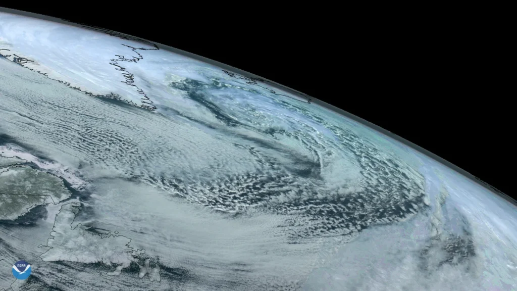
Most problems on a yacht delivery start with the weather: a front arriving earlier than forecast, a headland where the wind doubles, a sea state far worse than the wind speed suggests. Good weather routing does not remove those risks, but it moves the odds strongly in your favour. This guide explains how we do it.
The forecast models
| Model | From | Typical use |
|---|---|---|
| ECMWF (IFS) | European Centre for Medium-Range Weather Forecasts | Often regarded as the most reliable global model for the medium range |
| GFS | NOAA, United States | Free, widely available global model; useful for comparison |
| ICON | Deutscher Wetterdienst, Germany | Global and high-resolution European versions |
| AROME / HARMONIE and other regional models | National weather services | High-resolution detail near coasts, straits and mountains |
When the models agree, confidence is high. When they disagree, the forecast is uncertain — and that uncertainty is itself information.
GRIB files and their limits
GRIB files are compact grids of forecast data — wind, pressure, waves, rain — that can be downloaded at sea over a satellite link and displayed in navigation software. They are essential, but they have limits:
- They show average wind, not gusts or squalls.
- Coarse grids miss local effects: acceleration around headlands, in straits and down valleys, or sea breezes.
- They do not show wind against current, which can turn a moderate breeze into dangerous seas — think of the Gulf Stream, the Strait of Gibraltar or the Alderney Race.
So we read GRIBs alongside official forecasts, synoptic charts and local knowledge. See how this works in practice in our Strait of Gibraltar guide and Mediterranean winds guide.
Ensembles: how sure is the forecast?
An ensemble runs the same model many times with slightly different starting conditions. If most members show the same low in the same place, the forecast is robust. If they spread out, the weather is unpredictable — a reason to wait, choose a more conservative route or keep a bolt-hole in reserve.
Polars and routing software
Routing software combines the forecast with the yacht’s polars — its expected speed at each wind angle and strength — to suggest the fastest route. For a delivery we adjust these numbers: a cruising yacht with a delivery crew, a full load and conservative sail plan is slower than its brochure figures. We also set limits — maximum wind and wave height, no beating into a gale — so the “fastest” route is also a sensible one.
Professional weather routers
On ocean passages and exposed legs such as the Bay of Biscay, many delivery skippers use a professional routing service. A human forecaster studies the situation, recommends a departure window and route, and sends updates during the passage. Our weather-routing partner supports our captains on longer passages.
Choosing the departure window
- Look 7–10 days ahead for the big picture: highs, lows and fronts on the route.
- Narrow it down 3–5 days out using model comparison and ensembles.
- Check the first 48 hours carefully: this is when the forecast is most reliable and when you are committed.
- Plan escape routes: ports you can reach if the forecast changes.
- Decide, then re-check before casting off.
Typical windows: the Bay of Biscay needs a settled spell of two to three days; the Atlantic crossing westbound waits for the trade winds to establish; the eastbound crossing is planned around the lows and the Azores High.
Routing during the passage
- Download new forecasts at least once or twice a day offshore.
- Log the barometer regularly — a fast fall is an early warning.
- Compare what you see (wind, swell, cloud) with what was forecast. When reality runs ahead of the forecast, act early.
- Adjust course before conditions build rather than after.
When we wait
A professional delivery crew is paid to bring the yacht safely, not to keep a date. We will wait in port when the window is not good enough — and we explain why to the owner. Weather days are part of every honest quote; read how yacht delivery pricing works.
Weather routing on a Nordic Crew delivery
Our captains come from the commercial fleet, where passage planning and weather decisions are daily work. Every delivery starts with a written passage plan, a weather strategy and agreed update intervals for the owner. See our services or request a free quote.
Related guides
- Crossing the Bay of Biscay
- Mediterranean Winds Explained: Mistral, Tramontana, Bora, Meltemi & Sirocco
- Offshore safety equipment checklist
Frequently asked questions
What is weather routing for a yacht?
Choosing the departure time and route so the yacht meets wind and sea it can handle safely, using forecast models, the yacht’s performance data, local knowledge and often a professional router.
Which weather model is best for sailing?
No single model is always best. ECMWF is often regarded as the most reliable global model, but professionals compare several models and use regional high-resolution models near coasts.
What are GRIB files?
Compact forecast data files with wind, pressure, waves and rain on a grid. They can be downloaded at sea, but they show average wind and miss gusts, squalls and many local effects.
Should I use a professional weather router?
For ocean passages and exposed legs such as the Bay of Biscay, a professional router adds valuable expertise and updates during the passage. For short coastal hops, official forecasts and model comparison are usually enough.