
Short answer: the Mediterranean has a handful of named winds that every delivery skipper plans around. The Mistral (north-west, Gulf of Lion), Tramontana (north, Catalonia and the Balearics), Bora (north-east, Adriatic) and Meltemi (north, Aegean in July–August) are the strong, cold or dry ones. The Sirocco (south-east, from the Sahara) brings humid air, haze and building seas. Near Gibraltar, the Levante (east) and Poniente (west) decide when you can pass the Strait. Each wind is explained below, with the season and region it affects.
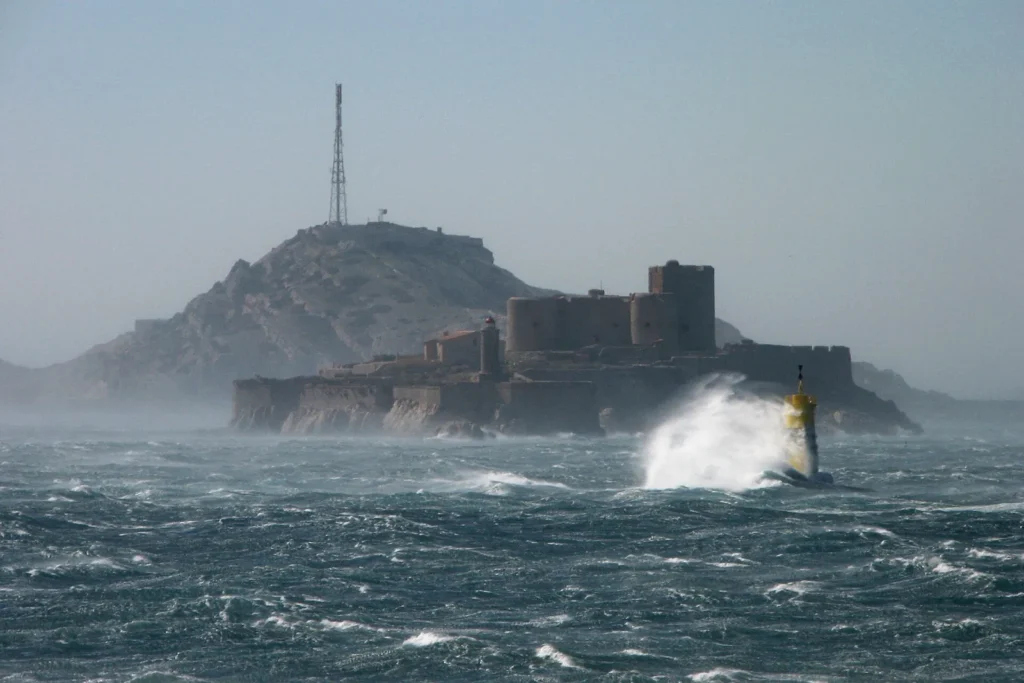
The Mediterranean has a reputation for calm summer sailing, but its local winds can rise fast and build short, steep seas. For a delivery crew moving a yacht across the Med — or bringing one in from the Atlantic — knowing these winds is as important as the forecast itself. This guide from Nordic Crew Worldwide summarises them.
The Mediterranean winds at a glance
| Wind | From | Where | Main season | What to expect |
|---|---|---|---|---|
| Mistral | North-west | Rhône valley, Gulf of Lion, Provence, west of Sardinia and Corsica | Strongest November–April; can blow in summer | Cold, dry, can reach gale to storm force; big seas in the Gulf of Lion |
| Tramontana | North / north-west | Catalonia, Gulf of Lion, Balearics, Ligurian and Tyrrhenian coasts | Mostly autumn–spring | Cold, dry, gusty; often linked with Mistral conditions |
| Bora (Bura) | North-east | Eastern Adriatic (Croatia, Montenegro), Trieste | Strongest autumn and winter | Sudden violent gusts falling off the mountains, often with little warning |
| Meltemi (Etesian) | North | Aegean Sea, Greece and western Turkey | Summer, peak July–August | Typically Force 5–7, can exceed Force 8; steep seas up to about 4 m |
| Sirocco (Jugo, Scirocco) | South-east / south | Across the Med, from North Africa | All year; strongest autumn–spring | Warm, humid, hazy, sometimes dusty; rain and building seas over long fetches |
| Levante | East | Alborán Sea, Strait of Gibraltar, Spanish south and east coasts | Mostly May–September near Gibraltar | Accelerates in the Strait; cloud over the Rock; good for leaving the Med |
| Poniente | West / north-west | Strait of Gibraltar and Alborán Sea | More frequent October–April | Dry and clear; good for entering the Med |
Mistral and Tramontana: the Gulf of Lion
The Mistral forms when high pressure over the Bay of Biscay meets low pressure over the Gulf of Genoa, and cold air is squeezed down the Rhône valley. It can blow for days, reaching gale force and occasionally more, and builds a short, steep sea across the Gulf of Lion. The Tramontana is its northerly cousin coming over the Pyrenees into Catalonia and the Balearics. For yachts crossing from the Balearics to France or Italy, we plan the Gulf of Lion crossing for a gap between Mistral episodes.
Bora: the Adriatic’s sudden wind
The Bora is cold air falling from the mountains onto the eastern Adriatic coast. Its danger is the suddenness: gusts can arrive with little change in pressure or cloud. It is strongest in autumn and winter, and particularly fierce in areas such as the Velebit Channel and the Kvarner Gulf. When a Bora is forecast, a delivery crew stays in a well-protected harbour.
Meltemi: the Aegean summer wind
The Meltemi blows from the north across the Aegean in summer, at its strongest in July and August. It often blows Force 6 for days, sometimes much more, and the seas between the Cyclades become short and steep. Deliveries north through the Aegean in high summer need careful timing — early morning departures and well-chosen shelter.
Sirocco: the wind from the Sahara
The Sirocco (called Jugo in Croatia) is a warm south-easterly from North Africa. It picks up moisture crossing the sea and brings haze, rain and sometimes Saharan dust. Because it blows over a long stretch of open water, it can build large seas on south-facing coasts. Its advantage: it develops slowly and can be forecast well in advance.
Levante and Poniente: the Strait of Gibraltar
At the western end of the Med, everything depends on whether the wind is east or west. These two winds decide when a yacht can pass the Strait — read our Strait of Gibraltar passage guide for the details.
How we plan around Mediterranean winds
- Check the regional pattern, not just the local forecast. A deep low over the Gulf of Genoa means Mistral; a high over the Balkans with low pressure to the south means Meltemi.
- Use two weather models and local forecasts (Météo-France, AEMET, Greek and Croatian services) for wind warnings.
- Plan shelter in advance. For each leg we know which harbours are safe in which wind direction.
- Prefer waiting to pushing. On a delivery, a day in port is cheaper than damage or a frightened crew.
Moving a yacht across the Mediterranean?
From our base in Málaga, Nordic Crew Worldwide delivers yachts across the whole Mediterranean — Spain, France, Italy, Croatia, Greece and Turkey. See our delivery packages, read how yacht delivery pricing works, or request a free quote.
Related guides
Frequently asked questions
What is the Mistral?
A cold, dry north-westerly wind that blows down the Rhône valley into the Gulf of Lion and across to Corsica and Sardinia. It is strongest from November to April and can reach gale to storm force.
When does the Meltemi blow?
The Meltemi blows from the north across the Aegean in summer and is strongest in July and August, typically Force 5–7 and sometimes above Force 8.
Why is the Bora dangerous for yachts?
The Bora falls from the mountains onto the eastern Adriatic coast as sudden, violent gusts, often with little warning from pressure or cloud. It is strongest in autumn and winter.
What is the Sirocco?
A warm south-easterly wind from North Africa, called Jugo in Croatia. It brings humid air, haze, rain and sometimes Saharan dust, and can build large seas on south-facing coasts.