
Short answer: owners can usually follow a yacht delivery in near real time. Most yachts can be tracked through AIS on public websites while they are near the coast, and a satellite tracker shows the position anywhere at sea, even far offshore. Combined with regular messages from the skipper over satellite or mobile data, this means you know where your yacht is and how the delivery is going — from departure to handover.
Handing your yacht to a delivery crew means trusting them with a valuable asset, often over hundreds or thousands of miles. Knowing where she is and how she is doing makes a big difference to an owner’s peace of mind. This guide explains the tracking and communication options on a modern delivery, what each can and cannot do, and what to agree with your delivery company before departure.
AIS: free, public, but coastal
Most yachts carry an AIS transponder (Automatic Identification System), which broadcasts the yacht’s name, position, course and speed over VHF radio. Shore stations pick up these signals, and websites and apps such as MarineTraffic, VesselFinder and others show them on a map — so anyone with the yacht’s name or MMSI number can follow her.
- Strengths: free to view, updated every few seconds to minutes near the coast, and also a key safety tool, because other ships see the yacht.
- Limits: shore stations only receive signals within roughly 20–40 nautical miles of the coast. Offshore — in the middle of the Bay of Biscay or on an Atlantic crossing — the yacht can disappear from public maps for days. Satellite AIS fills some gaps, but usually through paid services.
Satellite trackers: position anywhere at sea
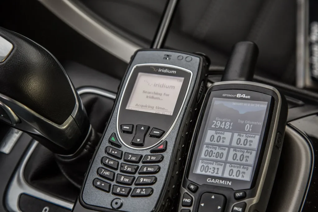
A satellite tracker sends the yacht’s position via a satellite network — such as Iridium — at fixed intervals, for example every 30 minutes or every few hours. The positions are shown on a private or shareable web page, so the owner, family or the yard can follow the delivery anywhere on the planet, including far offshore. Many trackers also let the crew send short text messages and have an SOS function. A satellite tracker is not a replacement for the yacht’s EPIRB, which is a dedicated distress beacon — read our offshore safety equipment checklist.
Messages and updates from the skipper
A position on a map tells you where the yacht is, but not how she is doing. That is why good communication with the skipper matters just as much:
- Near the coast: mobile data and messaging apps usually work, and photos and short reports can be sent easily.
- Offshore: a satellite messenger, satellite phone or a satellite internet system allows text updates, weather downloads and, with faster systems, email and photos.
- What a good update contains: position, progress against the plan, the weather and the next decision point, the condition of the yacht and any issues found.
What to agree before departure
- Tracking: whether the yacht’s AIS will be on throughout, and whether a satellite tracker will be used — the yacht’s own, or one the crew brings.
- Update frequency: for example a short message every day, plus an update at every departure, arrival and change of plan.
- Who is informed: the owner only, or also a broker, yard or insurer.
- Privacy: some owners prefer the yacht not to be visible on public AIS maps; this can be discussed, but switching AIS off reduces safety, and we only do it when it is safe and legal.
Our guide to what a delivery contract should include covers these points along with the other terms.
Why tracking matters for the owner
Following a delivery lets the owner plan the handover and arrival, inform the marina, and react early if plans change because of weather or a repair. It also builds trust: you see that the delivery is going as agreed, mile by mile. Read our guides to weather routing and how long a delivery takes to understand why a route sometimes changes on the way.
Follow your delivery with Nordic Crew Worldwide
On every delivery, we agree with you before departure how you will follow the yacht and how often you will hear from our skipper — from AIS and satellite tracking to regular updates by message or email. Our Scandinavian captains keep you informed from the first check in port to the handover, and all deliveries are covered by our own professional skipper insurance. Request a quote for your yacht delivery.
Related guides
Frequently asked questions
Can I track my yacht during a delivery?
Usually yes. Near the coast, AIS shows the yacht on public websites; offshore, a satellite tracker shows her position anywhere at sea.
Why does my yacht disappear from AIS websites offshore?
Public AIS maps rely on shore stations that only receive signals within roughly 20–40 nautical miles of the coast. Further out, only satellite AIS or a satellite tracker shows the position.
How often will the skipper send updates?
That is agreed before departure — typically a short daily message plus updates at every departure, arrival and change of plan.
Is a satellite tracker the same as an EPIRB?
No. A tracker shares positions and messages; an EPIRB is a dedicated distress beacon that alerts rescue services.